Download OSM Extracts
Welcome to our OpenStreetMap data download page, where we regularly provide extracts from the OSM project in BPF format. Our initial focus is on administrative areas and degree tiles. Currently, updates are provided at least weekly, with more frequent updates coming soon.
Features
- Administrative Areas: On two hierarchical levels, we offer more than 3000 administrative areas worldwide.
- Consistency: We use the boundaries for administrative areas included in OSM.
- Precision: Retain as many original IDs as possible while making precise cuts at boundaries.
- Boundary Files: Exact cutting boundaries are available in two formats: GeoJSON and Poly.
- Grid Coverage: Based on a common naming scheme for elevation data (HGT), we offer more than 28,000 tiles in either 1° or 10° dimension.
- Data Protection: Metadata such as user, uid, changeset are excluded, except for version.
By downloading and using these data sets, you support and benefit from the collaborative power of OpenStreetMap. Happy mapping!
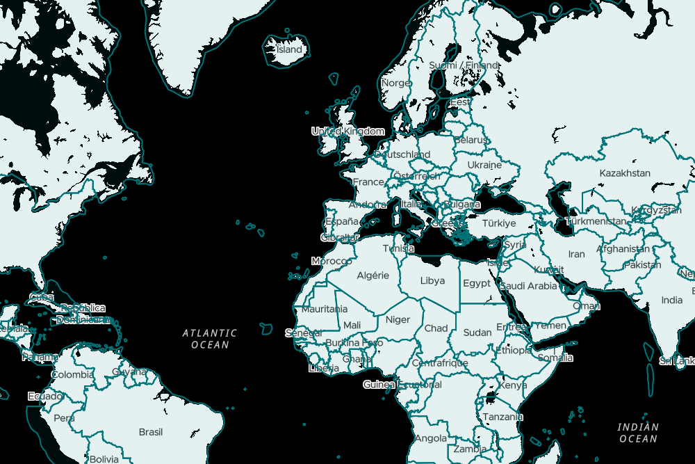
Download maps of states (level 2) or their subordinate administrative areas (level 3 or 4).
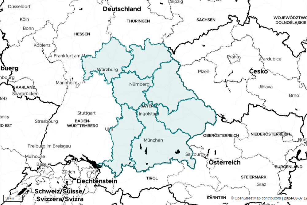
Download maps of Bavarian regions (level 5) or counties (level 6).
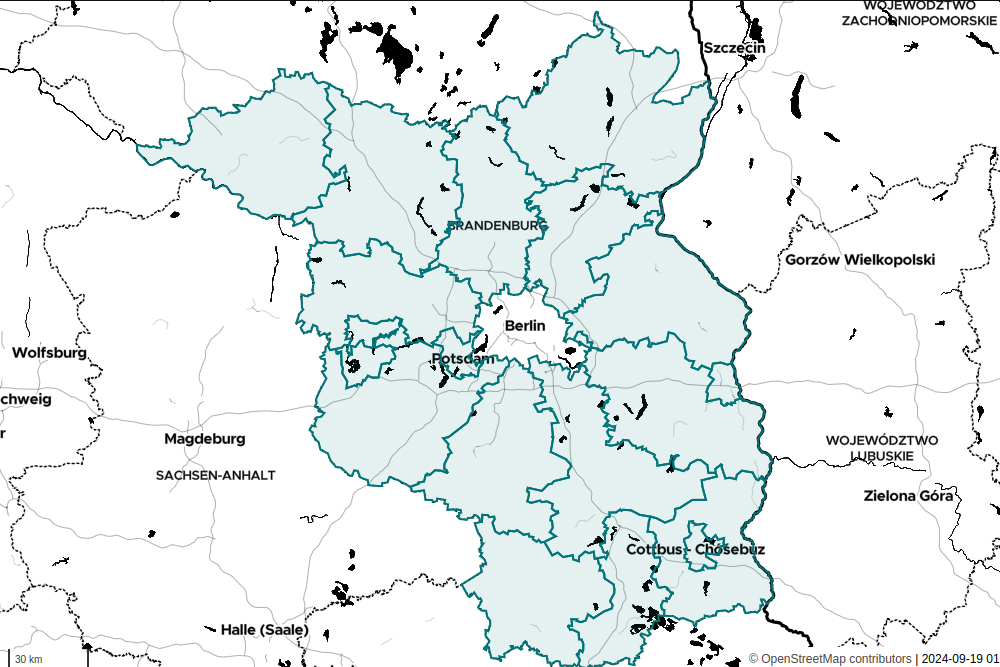
Download maps of Brandenburg regions (level 6) or counties (level 8).
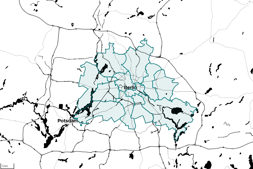
Download Berlin boroughs (level 9) and districts (level 10).
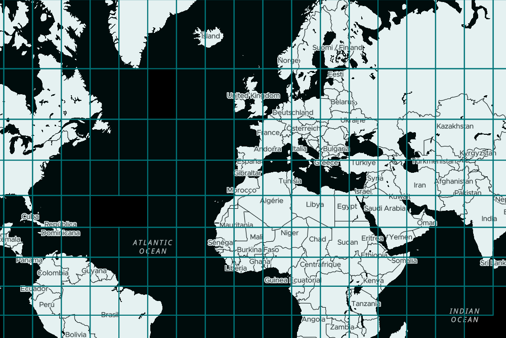
Download Map
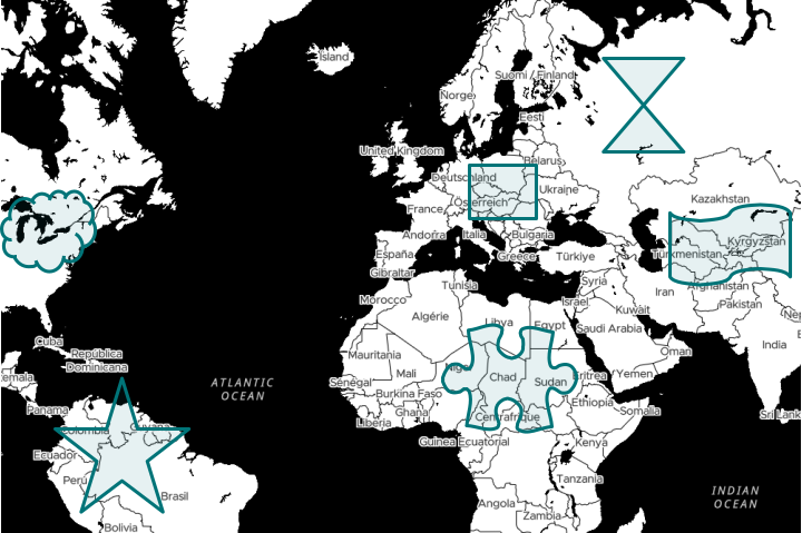
If you need special areas or custom cuttings, please contact us directly: osm@movisda.io
